The Poremsky Family
Title
Maps
Hint: Click the More button (seen in the screenshots) on the Google maps page to toggle pictures off and on.
Click on the highlighted areas to go to an close-up of the area.
Dennis Cove - Laurel Falls
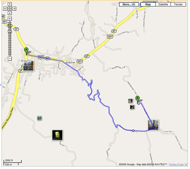
Link to Google Maps
Drive 8/10 of a mile east of Hampton on 321. Turn at Dennis Cove Road, marked by National forest sign. Drive 4.8 miles to Dennis Cove Camp. 8/10 for mile west of campground is small parking area for the Appalachian trail. Park here and walk to the falls. It's a fairly easy hike.
Elk Park Falls
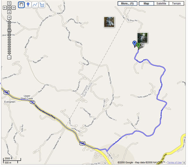
Link to Google Maps
Starting in Hampton on US 19E
US 19 to Roan Mt. area. Cross into NC. 9/10 of mile inside NC, turn left at sign for the falls, left again in 3/10 of mile. Follow road for 4.2 miles.
Spivey Falls
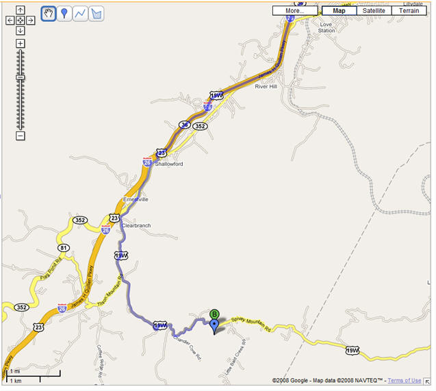
Link to Google Maps
Near Erwin, take 181 to Erwin and get off at temple hill road. Take 19 towards NC. If you cross into NC, you went too far. :) approx 1.1 miles to Ernestville, 4 miles to the falls. I marked the falls with a blue bar.) The falls is on the right. There is a small turnout on the right and just beyond that a driveway and a small sign.